

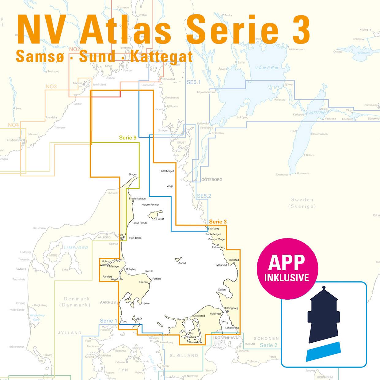
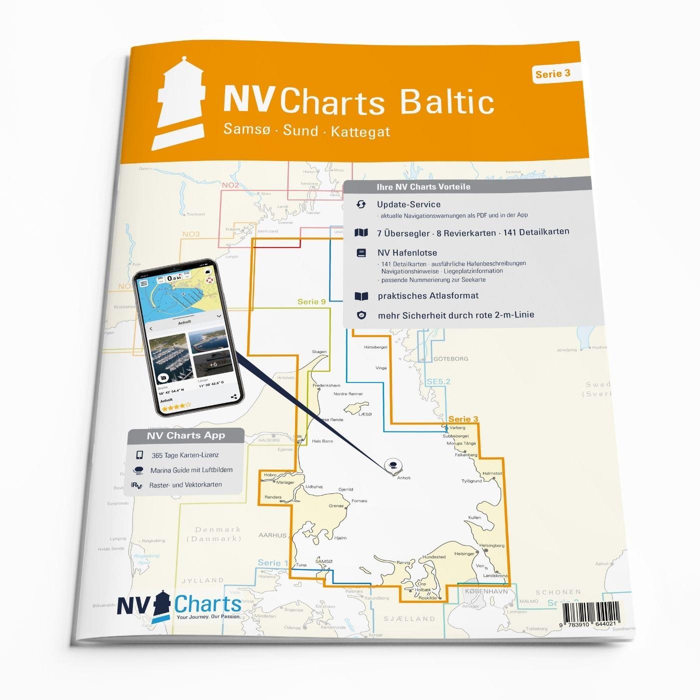
NV Verlag Serie 3, Samsø - Sund - Kattegat
edycja 2024
Charts and measures included
Übersegler
Übersichtskarte Serie 3 1 : 520.000 , Skagerrak 1 : 520.000 , S 30 Kattegat Südwest 1 : 200.000 , S 30A Kattegat Südost 1 : 200.000 ,
S 31 Kattegat Mitte West 1 : 200.000 , S 31A Kattegat Mitte Ost 1 : 200.000 , S 32 Kattegat Nord 1 : 180.000
District maps
S 26 Sund Nord 1 : 80,000 , S 27 Isefjord 1 : 65,000 , S 27A Roskilde Fjord Nord 1 : 42,000 , S 27B Roskilde Fjord Süd 1 : 42,000 ,
S 28 Samsø Belt 1 :108,000 , S 29 Aarhus Bay 1 :100,000 , S 34 Randers & Mariager Fjord 1 : 56,000 , S 35 Sund North Approach 1 : 65,000 Detailed maps
Detailed maps
S 26 Helsingør 1 : 25,000 , S 27B Gershøj Selsø Approach 1 : 25,000 , S 33 Frederikshavn Approach 1 : 40,000 , S 33 Frederikshavn 1 : 20,000 ,
S 33 Hals Approach 1 : 45,000 , S 34 Udbyhøj 1 : 18,000 , S 34 Hadsund Brücke 1 : 16,000 , S 35 Hallands Väderö 1 : 40,000
This map set includes
7 sailors
8 hunting ground maps
141 detailed maps
Digital charts for navigation programme and NV Charts App 356-day licence
new: vector map download
Harbour pilot in paper / digital in German and English
Shore leave pilot digital
Aerial photographs of the German and Danish coasts digital
Navigation instructions in German
Fulfils the legal requirements for current paper charts on board recreational craft
Ale wykrywamy i usuwamy fałszywe treści, gdy je zidentyfikujemy.
