

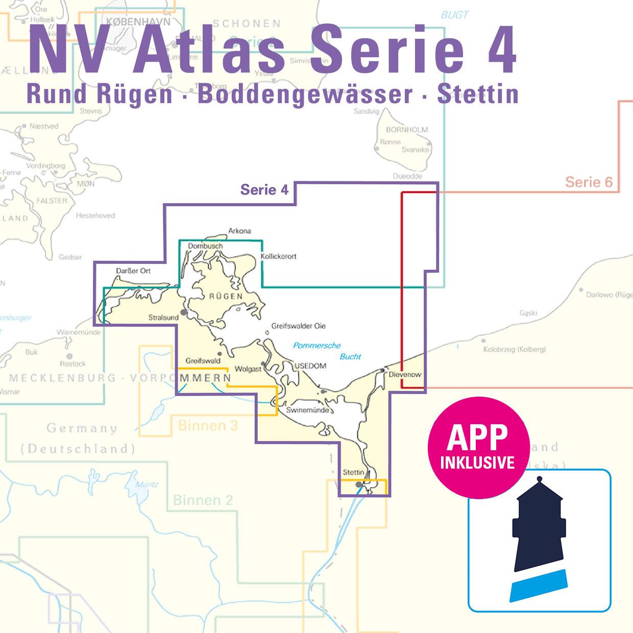
NV Verlag Atlas Seria 4 Rund Rügen - Boddengewässer - Stettin
Nowa Edycja 2026 !!!
Sailors
General map series 4 1:370,000 , S 25 Bornholm 1:140,000 , S 45 Hiddensee to Swinemünde 1:250,000 , S 46 Rügen to Bornholm 1:230,000
District maps
S 36 The Bodden südl. Zingst 1:60,000 , S 37 Strelasund North 1:60,000 , S 38 Hiddensee to Jasmund 1:60,000 ,
S 39 Strelasund Süd 1:40,000 , S 39A Stralsund 1:40,000 , S 40 Greifswalder Bodden West 1:60,000 ,
S 41 Greifswalder Bodden East 1:60. 000 , S 42 Peenestrom Süd 1:60.000 , S 43 Stettiner Haff 1:80.000 , S 43A Dievenow 1:60.000 ,
S 44 Die Oder bis Stettin-Nord 1:30.000 , S 44A Die Oder bis Stettin-Süd 1:30.000 , S 45A Arkona bis Landtief 1:100.000
Detailed maps
S 25 Christiansø 1:12,000 , S 36 Am Bock 1:25,000 , S 39A Vitter Bodden 1:30,000 , S 39A Häfen Stralsund 1:12,000 ,
S 41A Ruden to Wolgast 1:40,000 , S 42 Zecherin 1:40,000 , S 43A Dievenow Approach 1:10,000 , S 43A Swinemünde 1:40,000
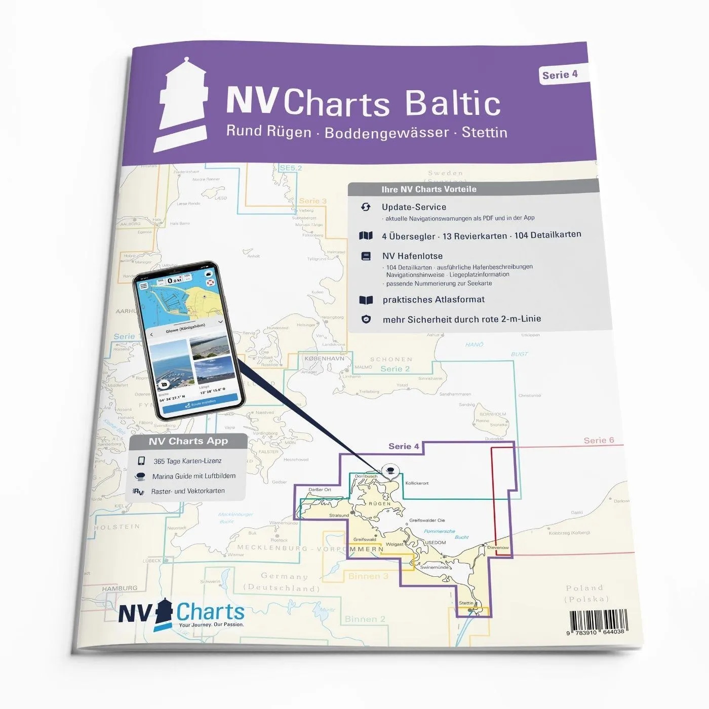
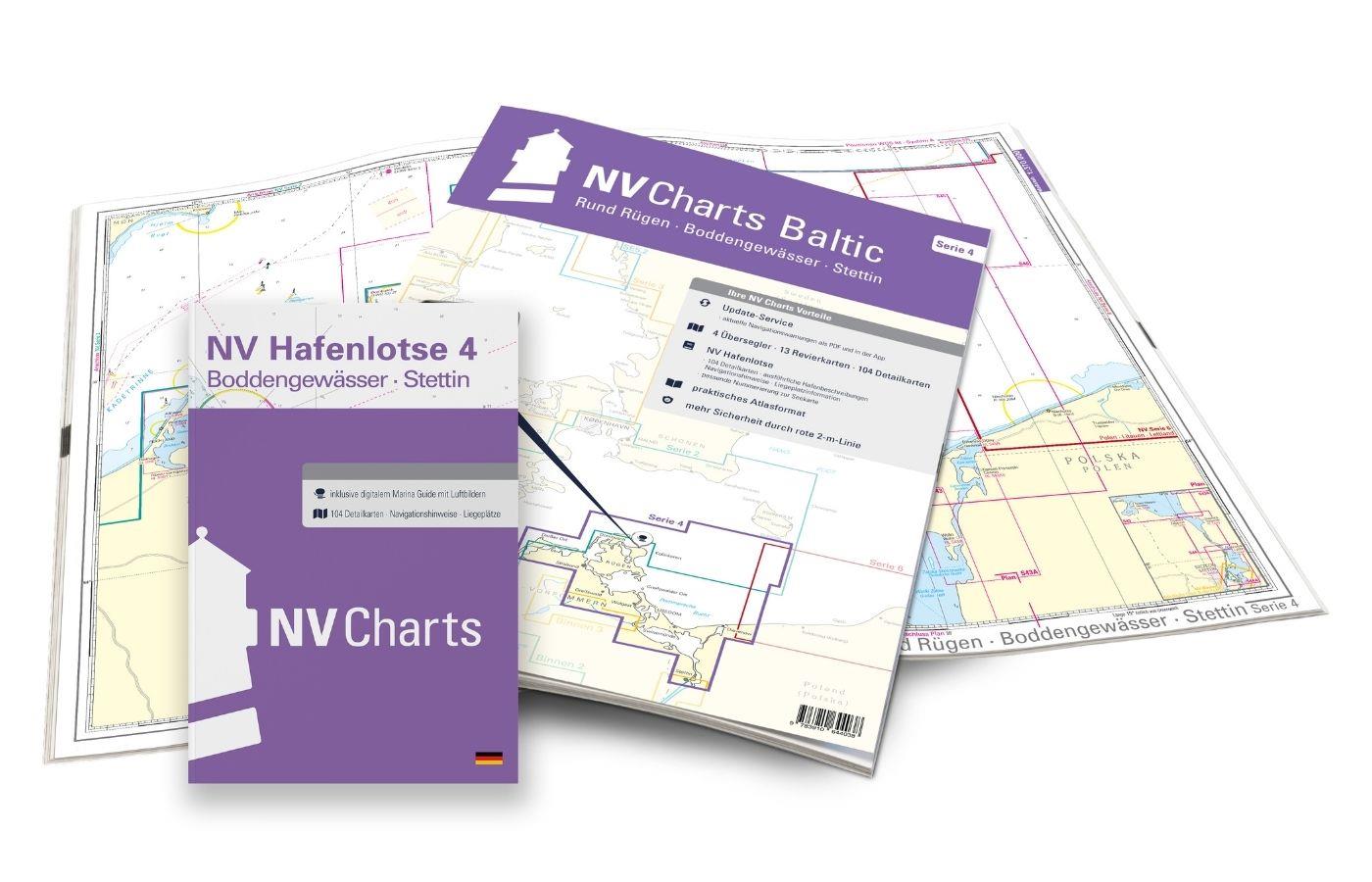
This map set contains
4 &sailors
13 territory cards
104 detailed maps
Digital charts for navigation program and NV Charts App 356-day license
new: vector map download
Harbor pilot in paper / digital in German and English
Navigation instructions in German
Meets the legal requirements for current paper charts on board recreational craft
Ale wykrywamy i usuwamy fałszywe treści, gdy je zidentyfikujemy.

